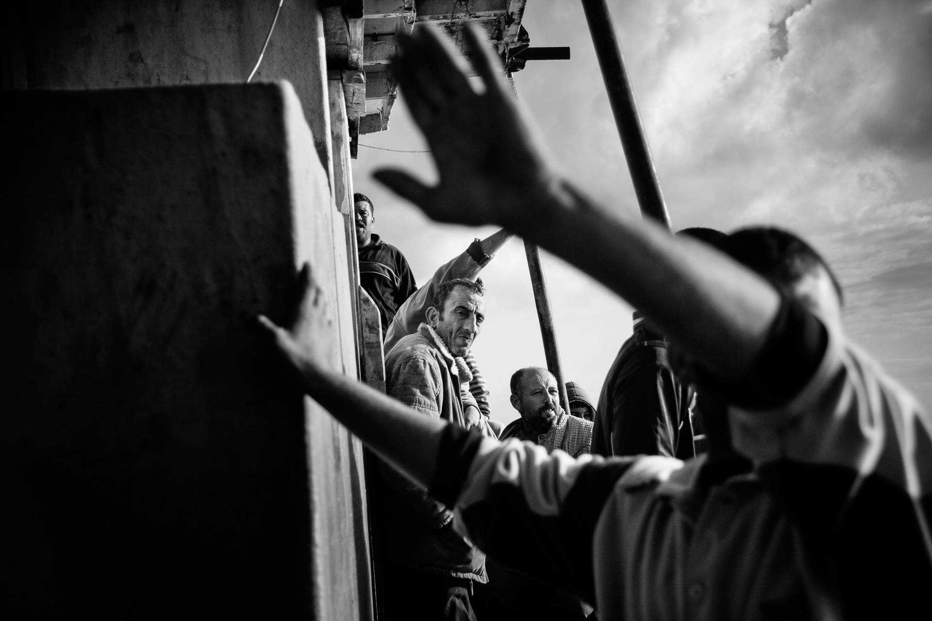
After three days at the Rafah crossing, I met a man born in Gaza who had never returned.
He pointed to his wife and son sitting in the shade and said: “Justice does not exist. I’ve been trying to bring my son home for ten years.”He asked me to enter in his place, to walk the line and witness what he could not.
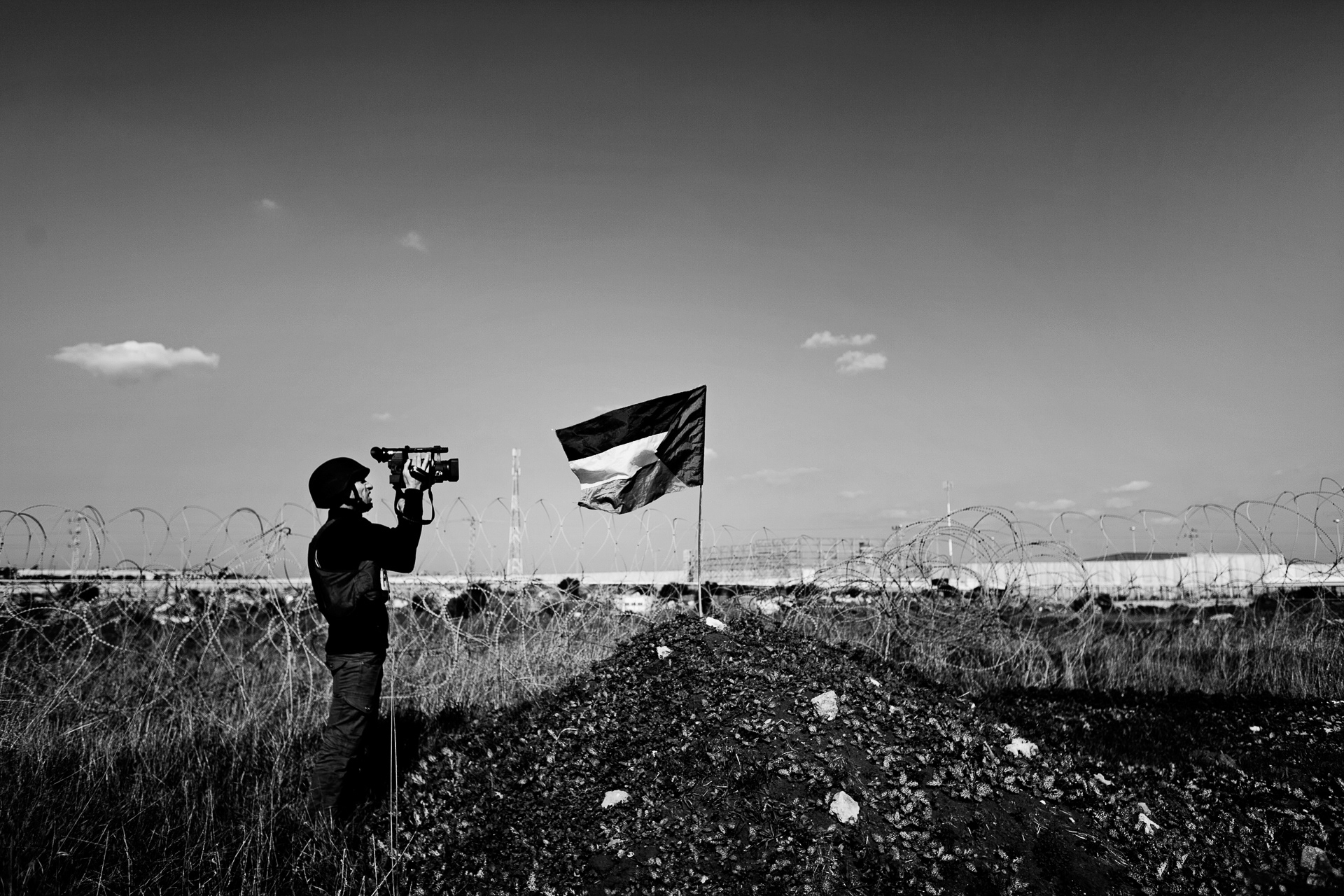
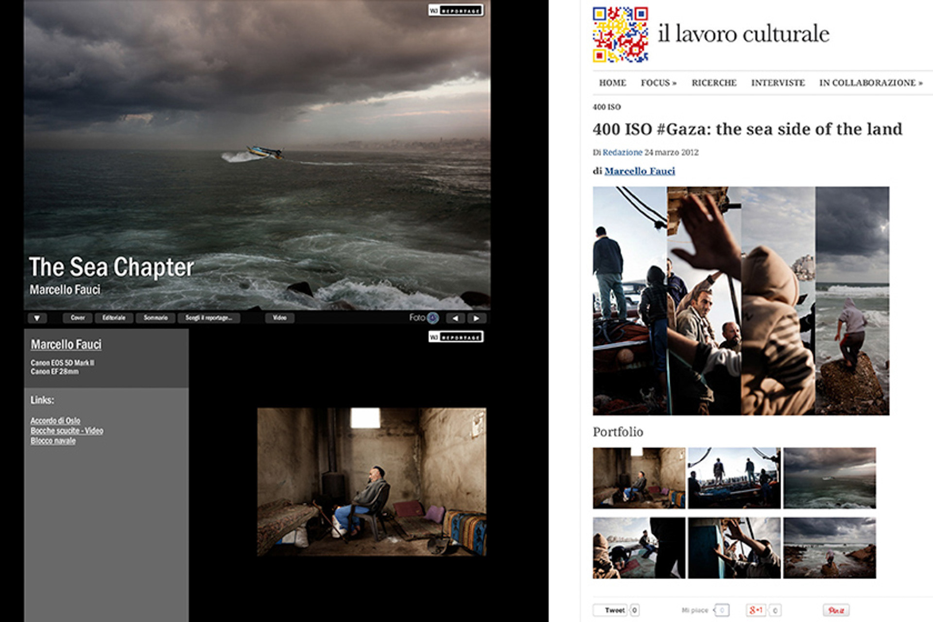
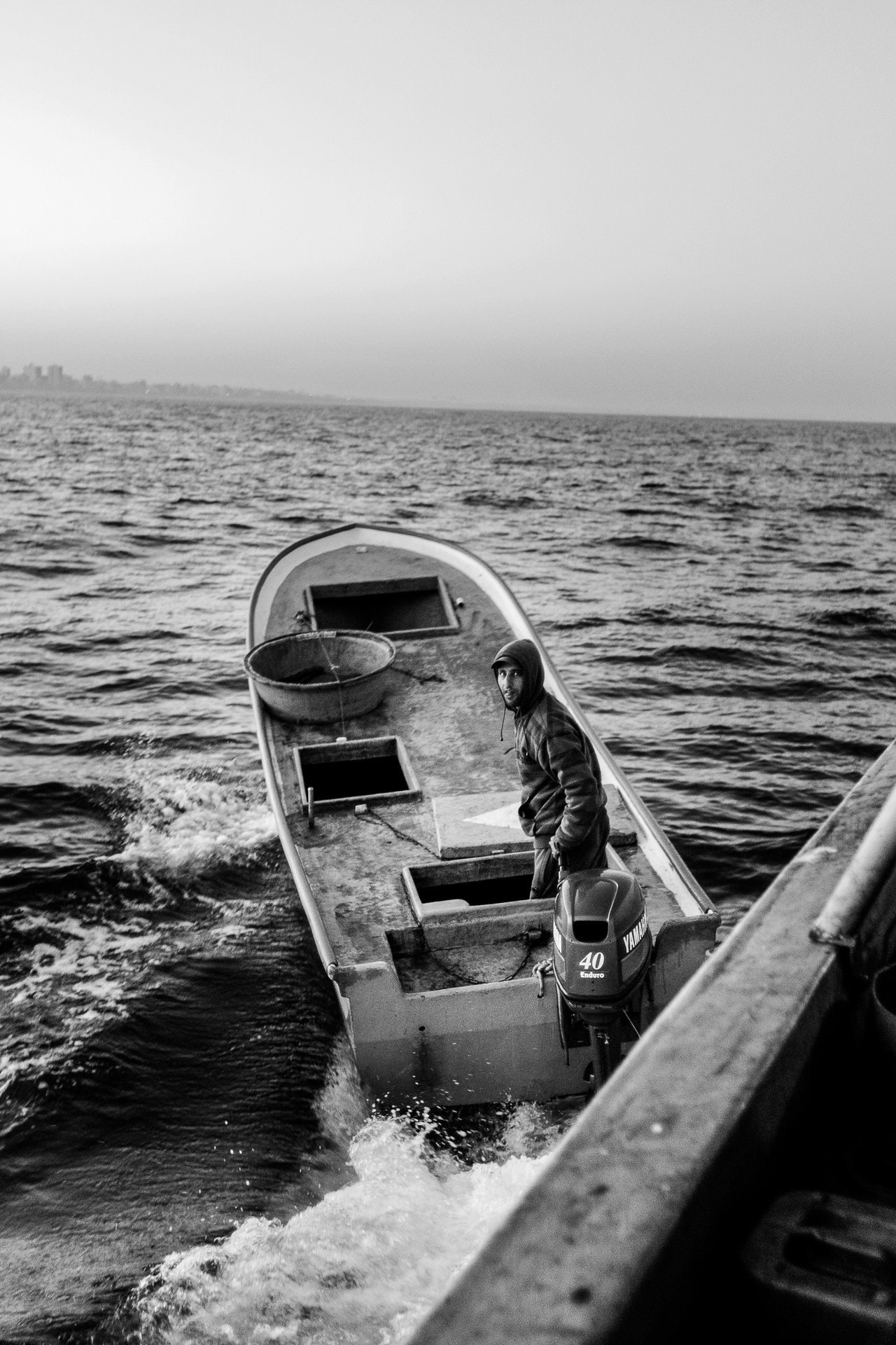
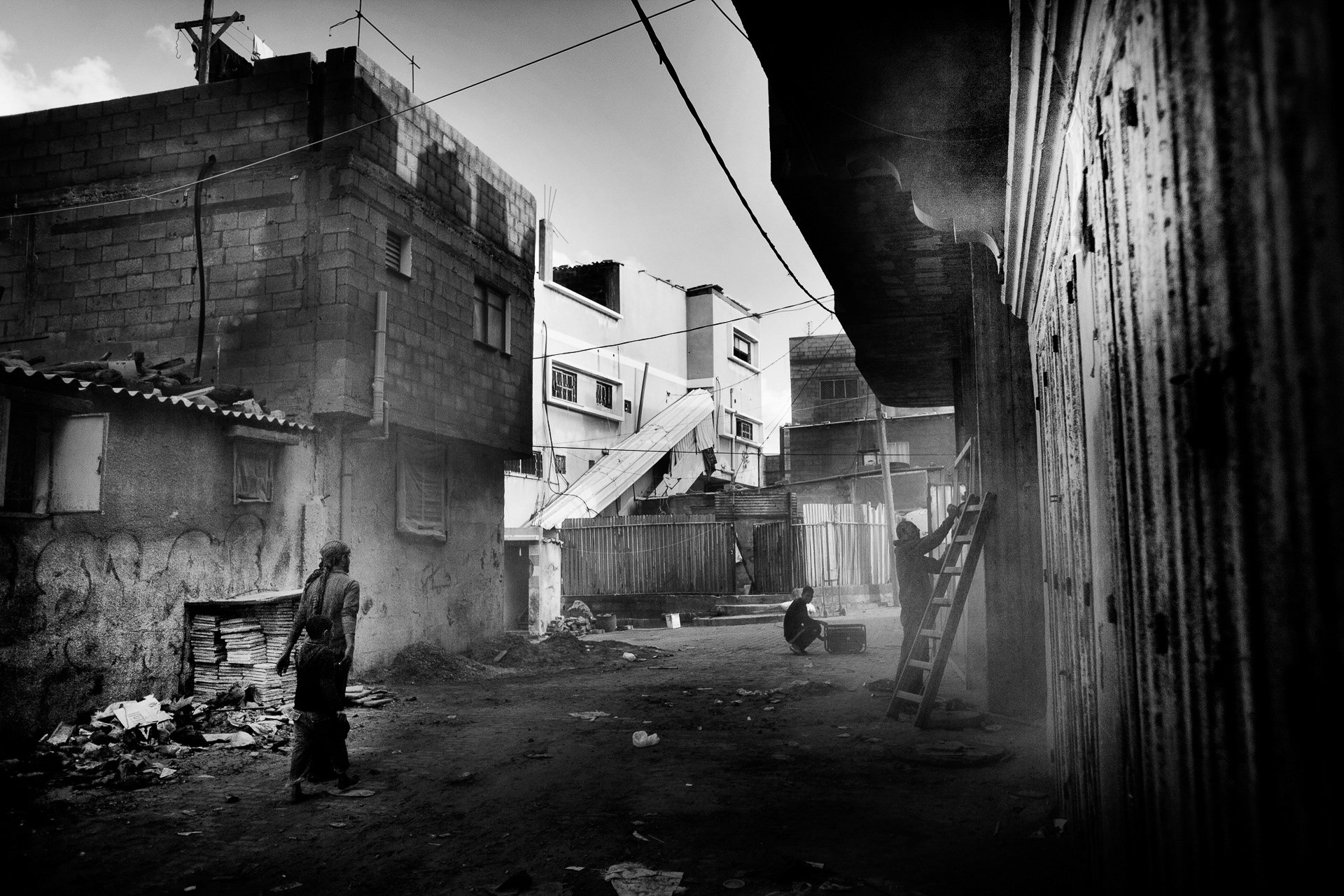
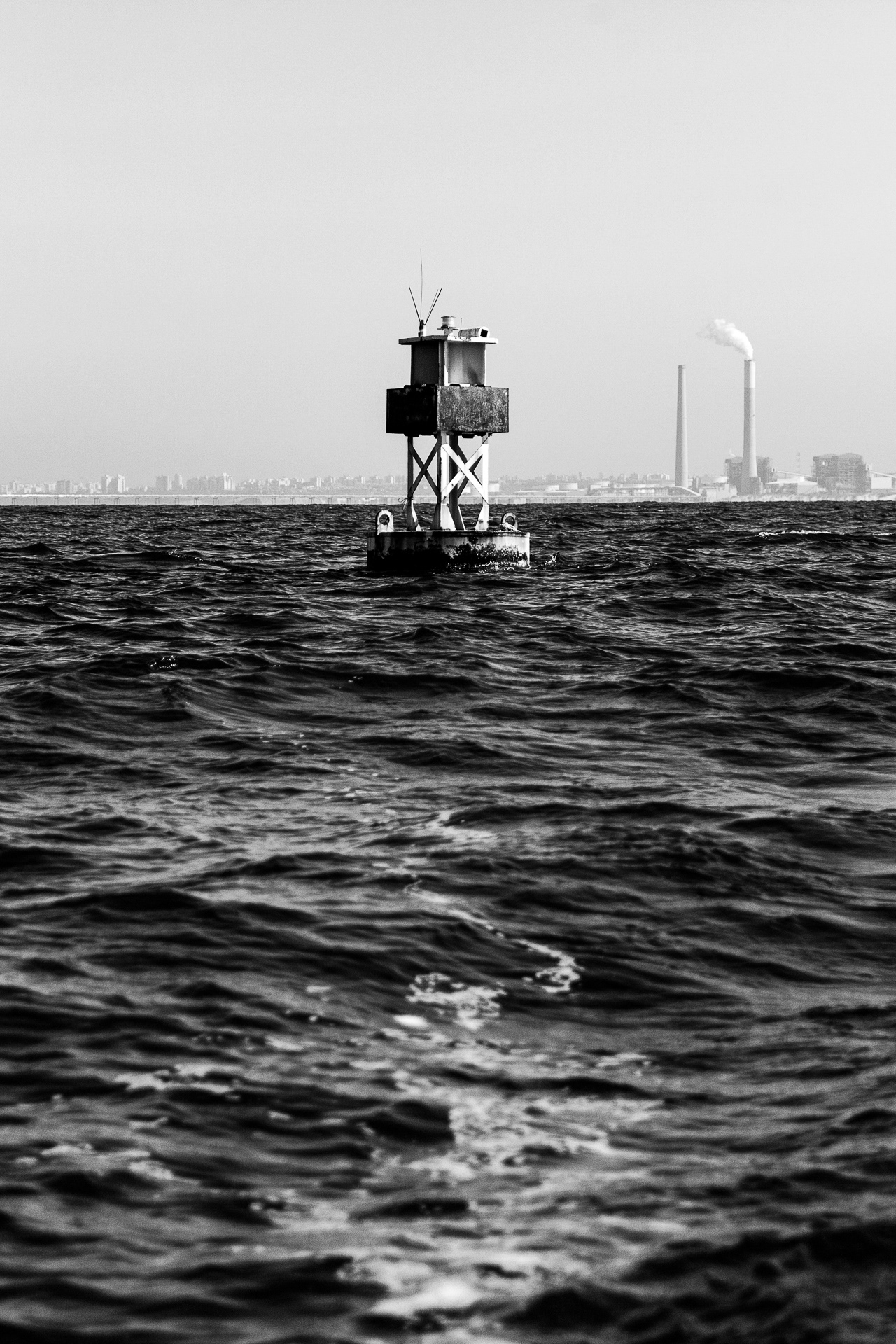
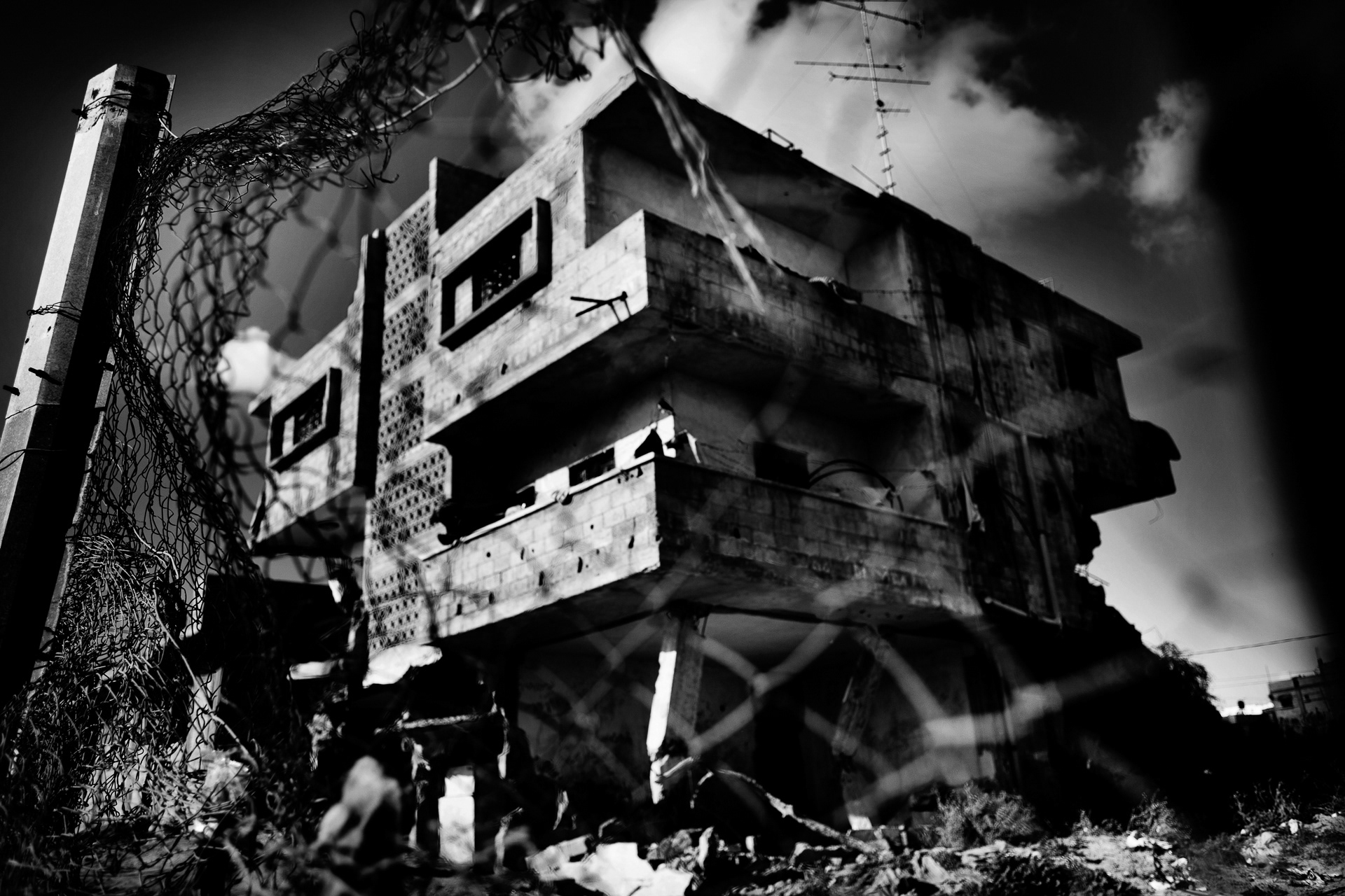
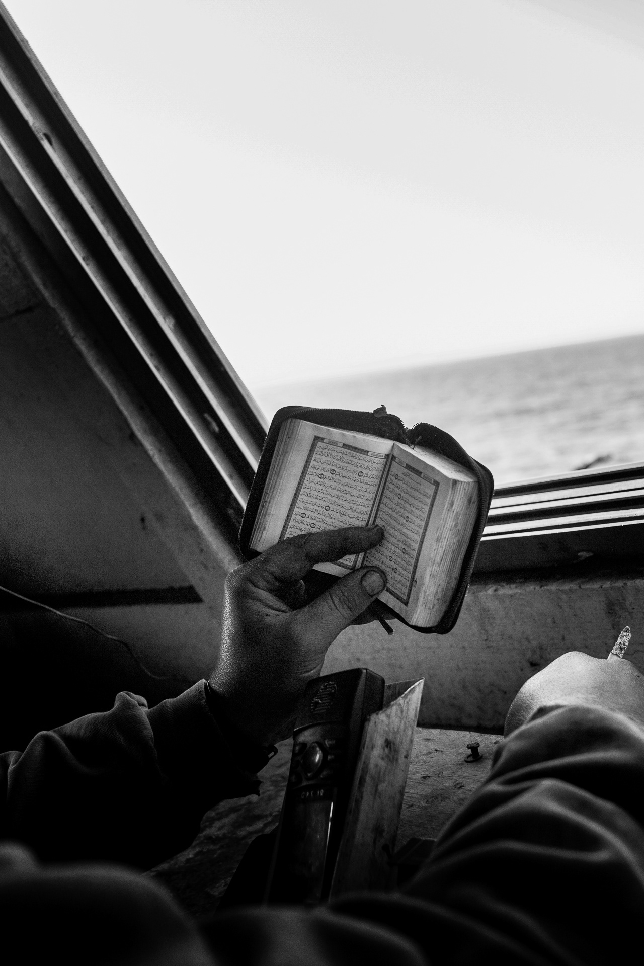
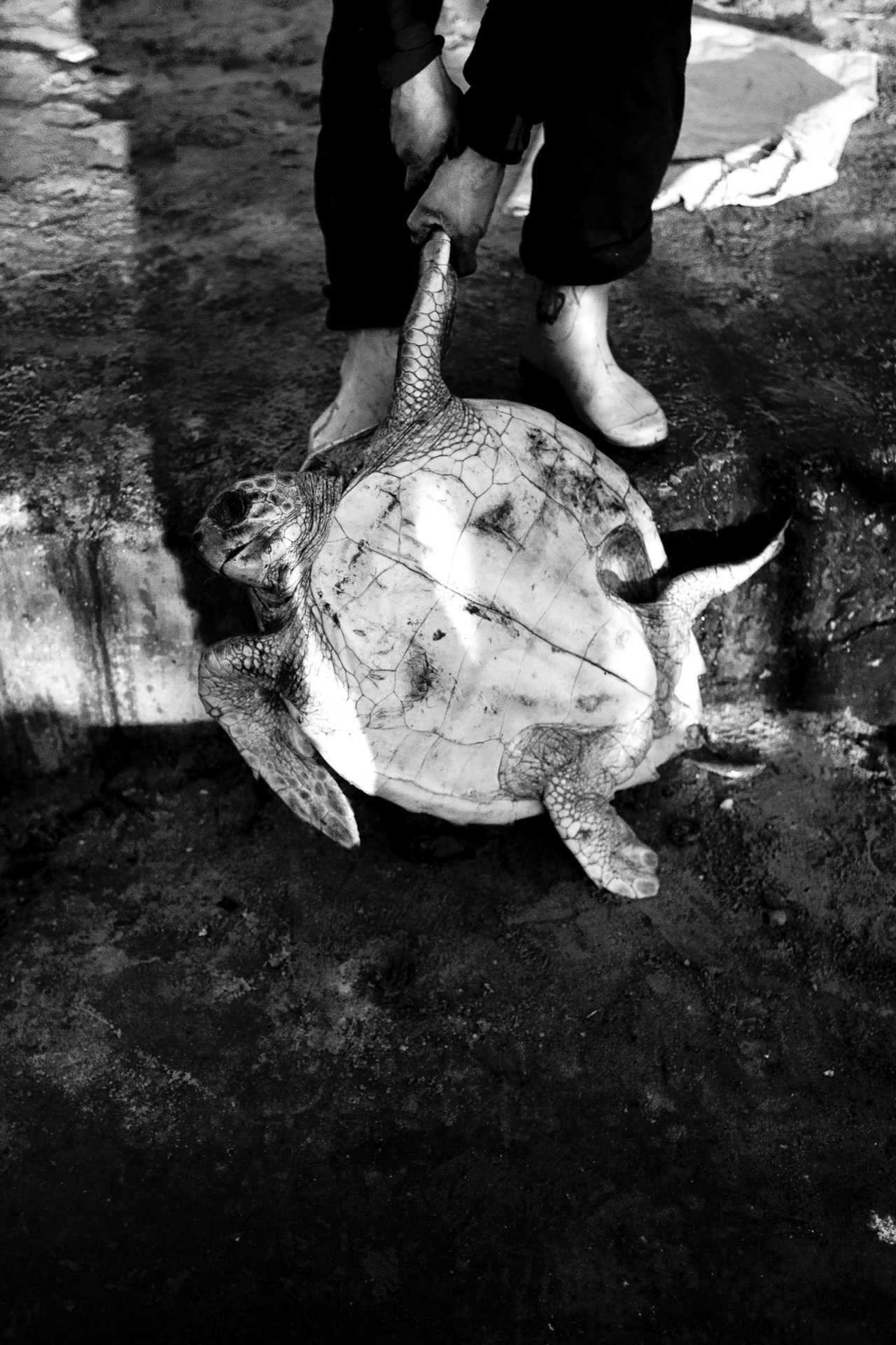
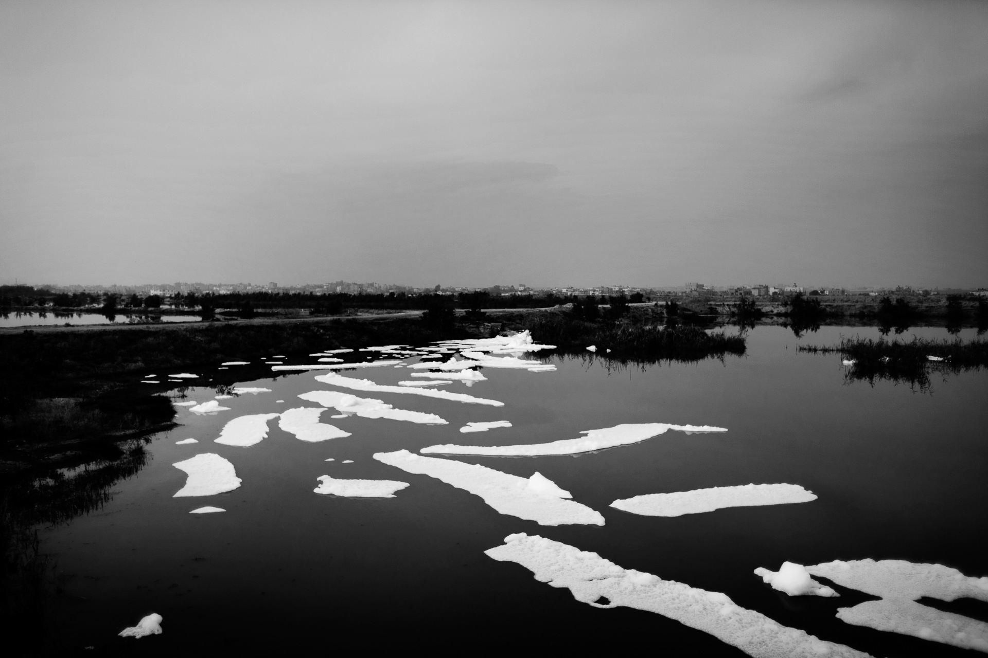
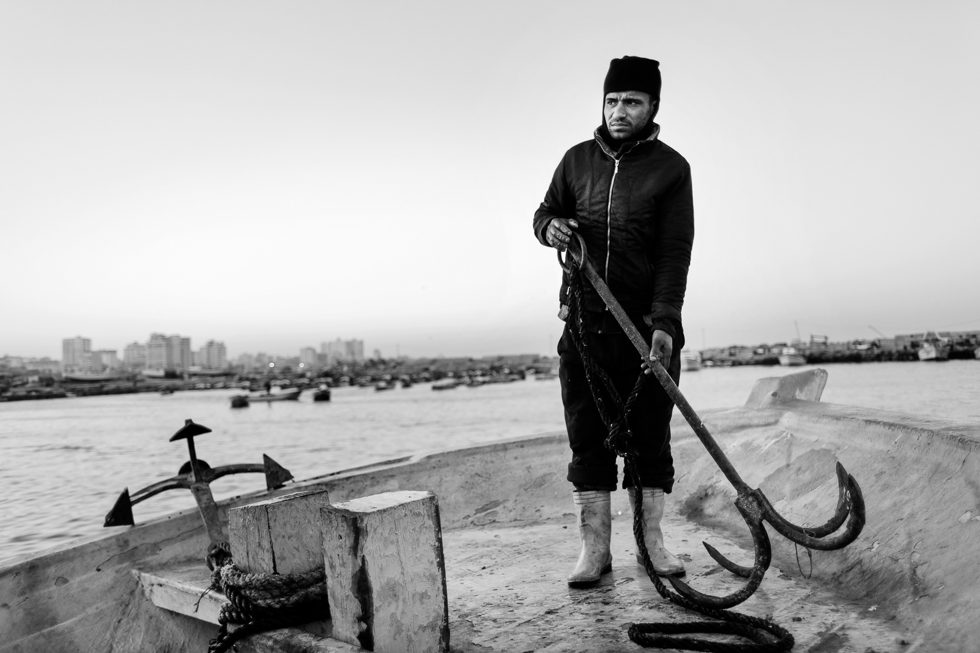
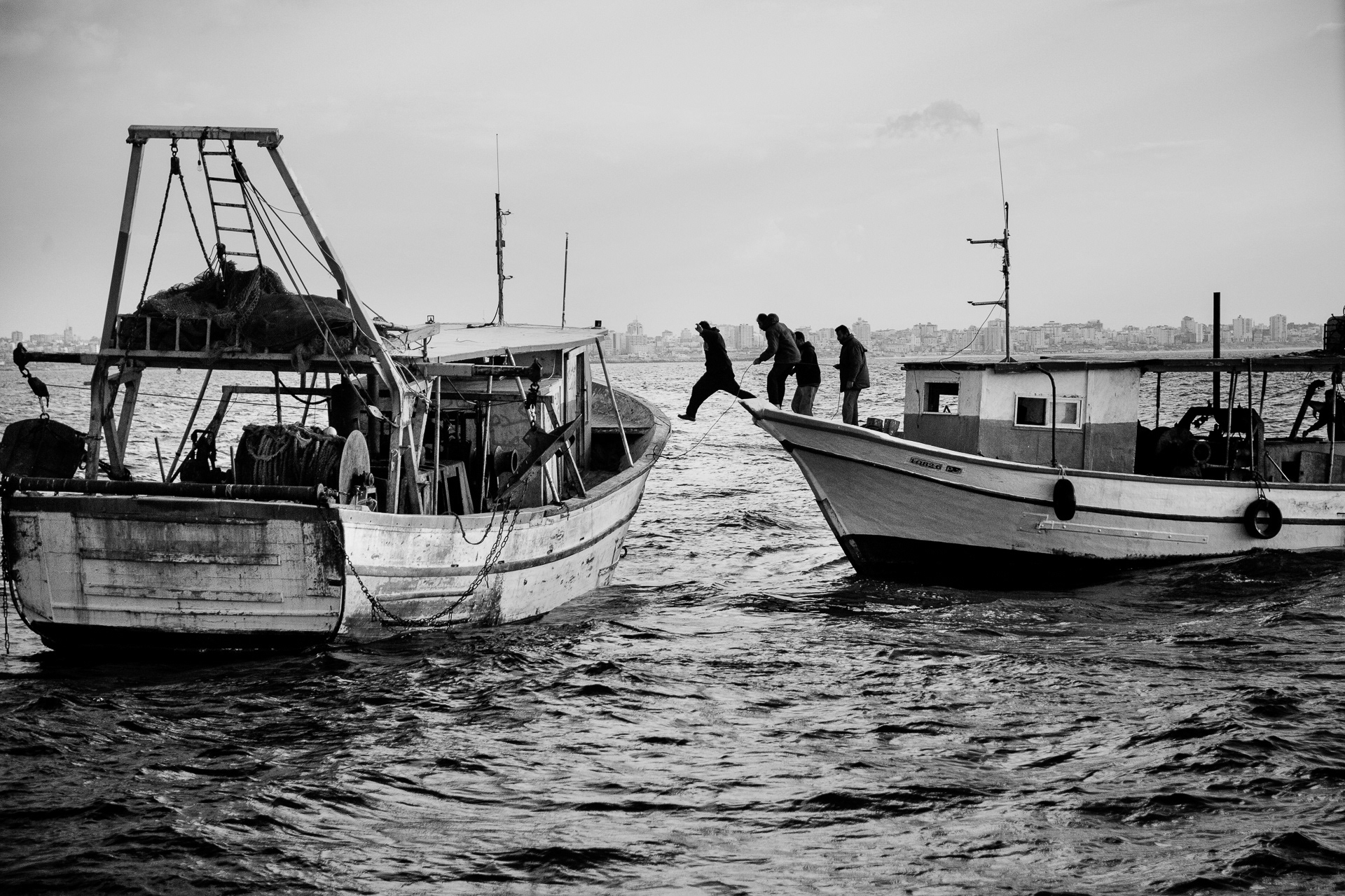
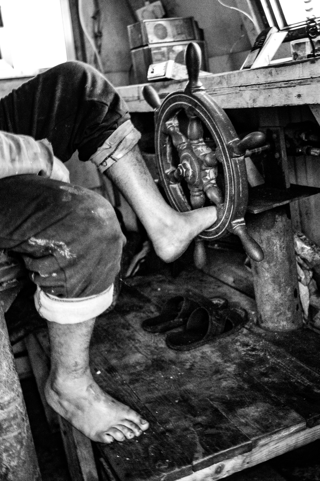
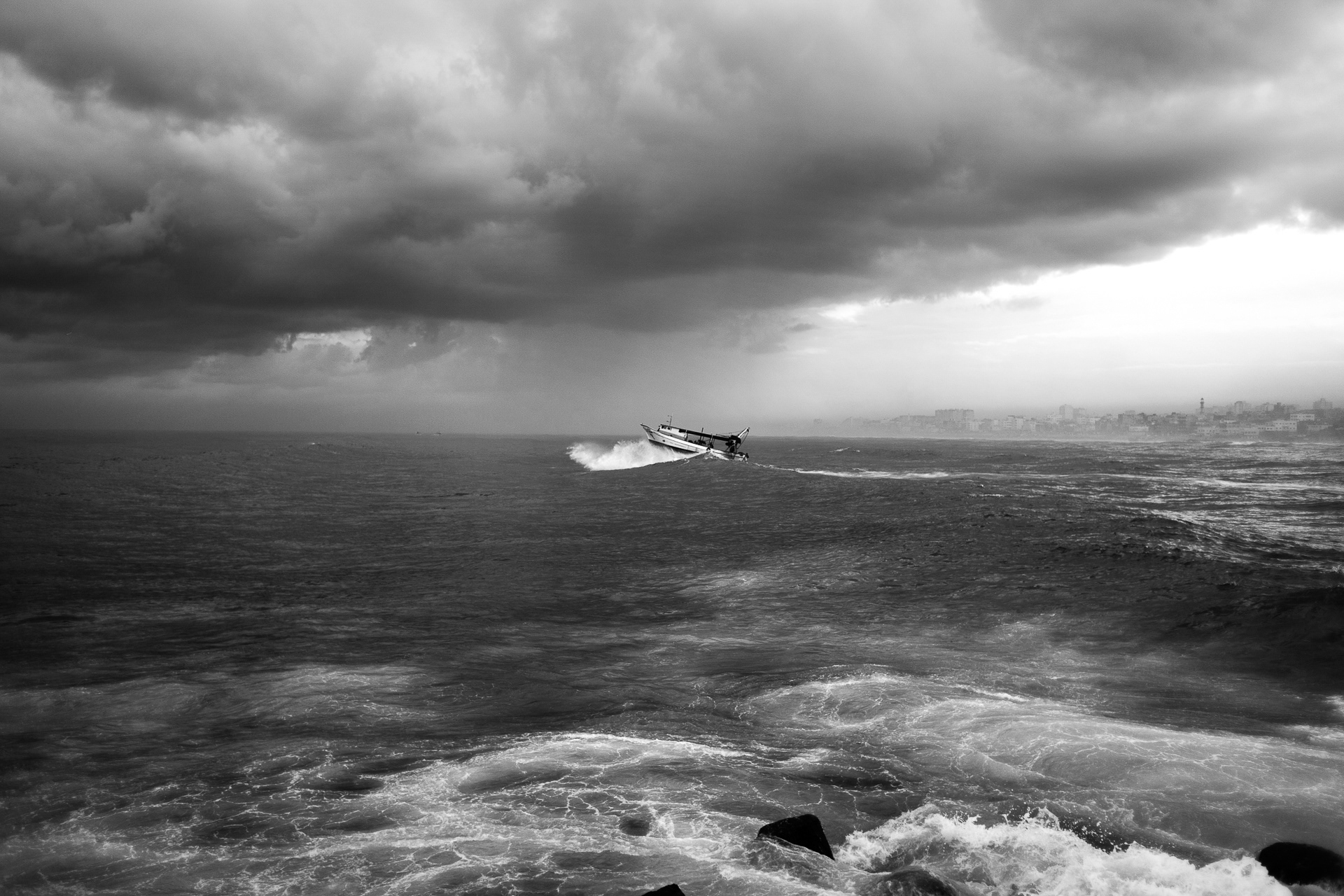
I crossed at sunset, and began documenting the outer edges of the Strip—a narrow corridor between concrete and sea, where fishermen operate under shifting maritime restrictions, reduced over time from 20 to 3 nautical miles.
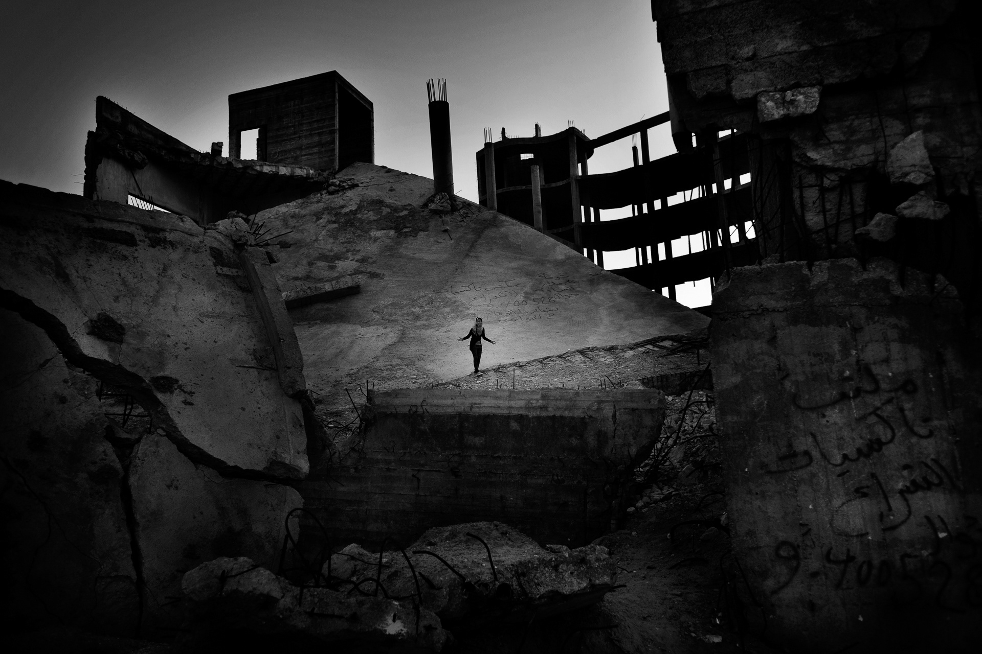
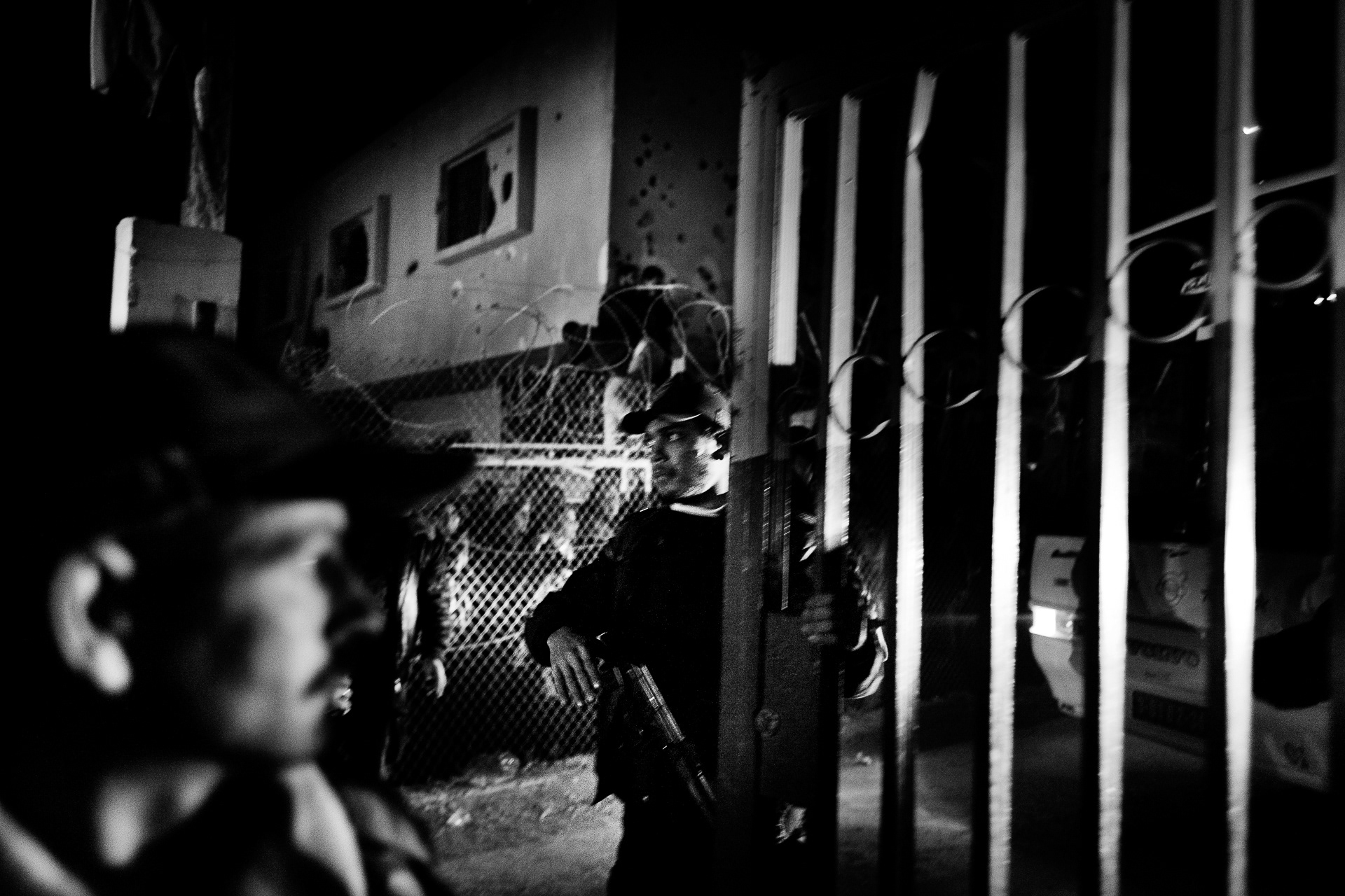
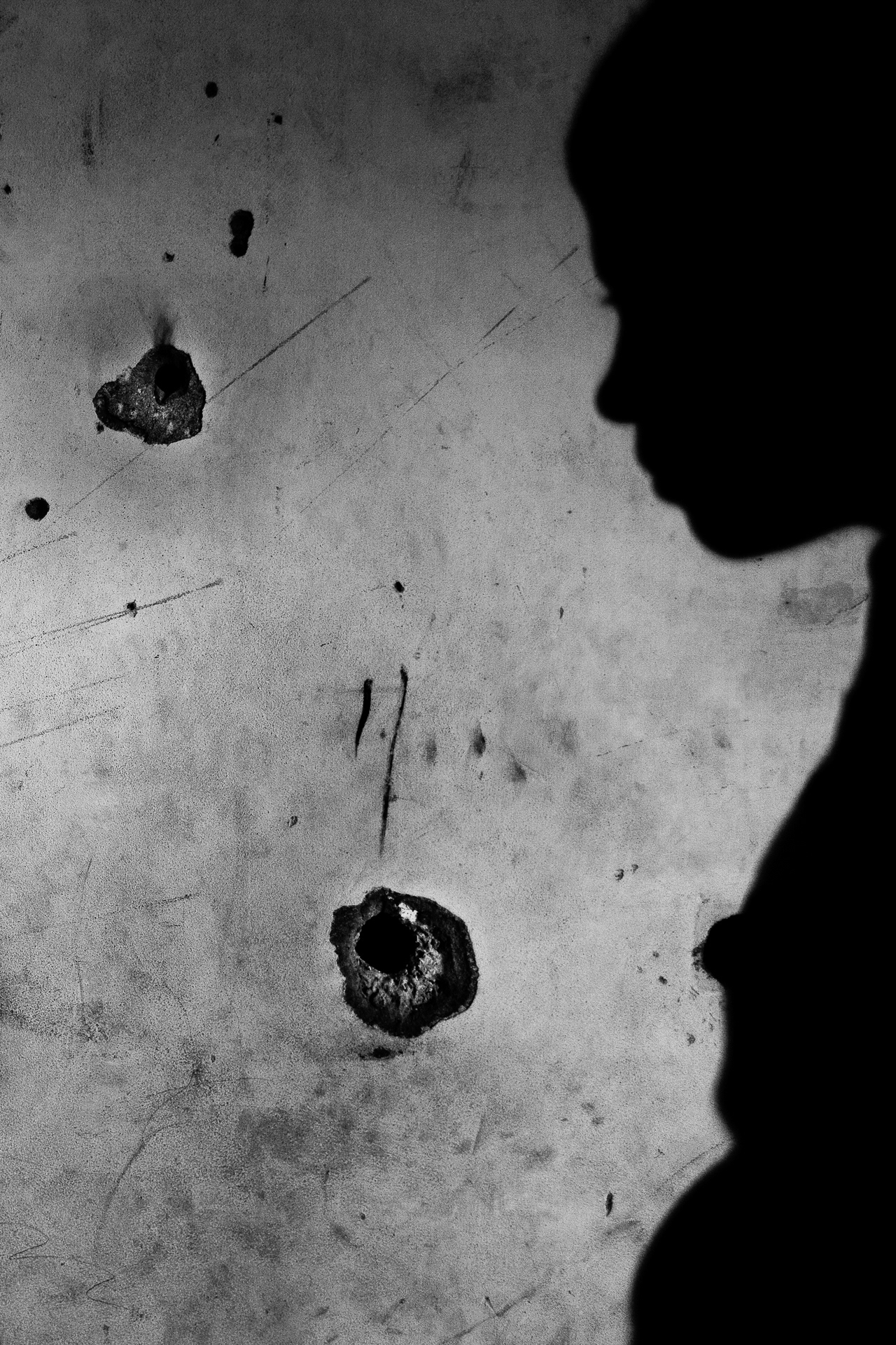
These photographs were taken there, where geography is held in place by law and gunfire.


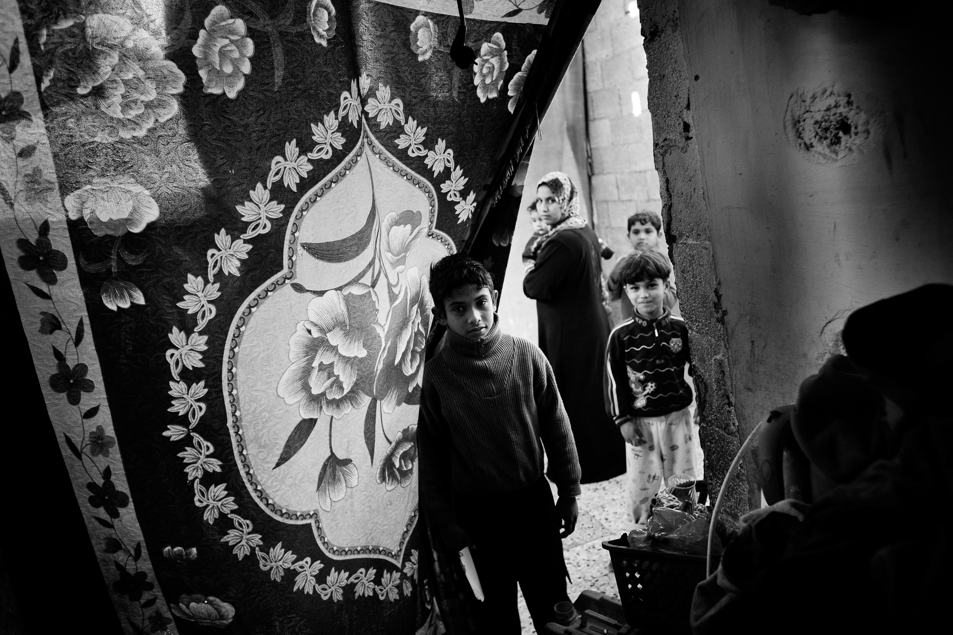

Field Notes from Gaza, 2012
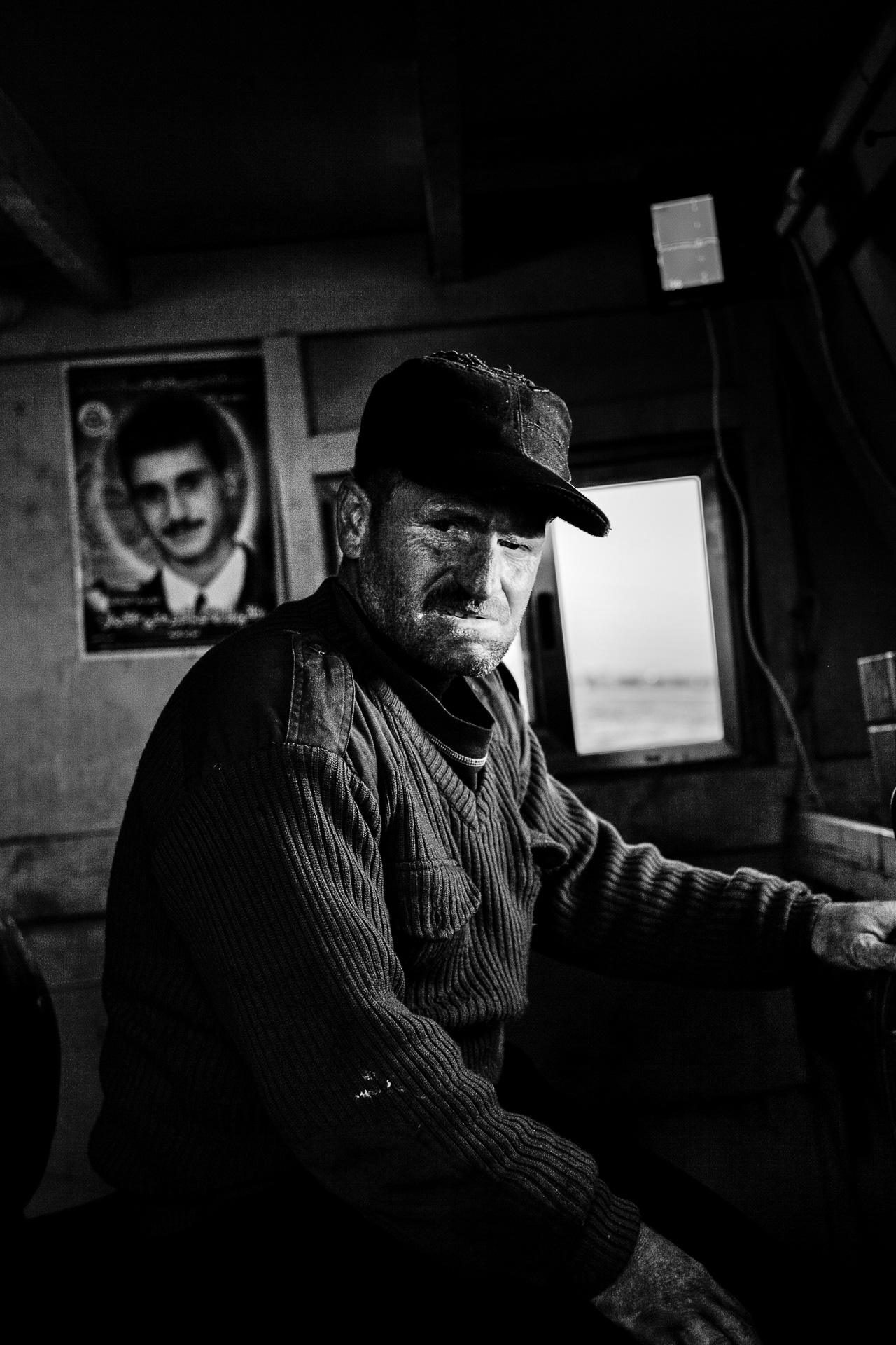
I spent six weeks in the southern section of the Gaza Strip.During that time, I met and interviewed local fishermen whose daily routes are shaped by invisible borders at sea.Under the Gaza-Jericho Agreement—part of the Oslo Accords—they were once allowed to fish up to 20 nautical miles offshore.In 2002, the limit was reduced to 12 miles, then to 6 in 2006, and finally to 3 miles after Operation Cast Lead in 2008.
Eyewitnesses report that this boundary is now enforced by gunfire.
The sea, like the land, is measured, contained, and watched.